We Got Tired of
Burning Fuel
on Bad Intel
200 gallons of diesel. A full day committed before you even clear the inlet. And half the time, you're running to the wrong canyon because yesterday's data is already stale. That's the problem. That's why we built ABFI.
We aren't tech gurus — we're anglers. We fish the Mid-Atlantic canyons out of Ocean City, and we built the intelligence platform we wished existed. AI-powered, fed by real data, satellite imagery, and catch reports from our network of captains and members.
ABFI turns ocean data into clear, fishable decisions.
Born at the Dock, Not a Boardroom
ABFI started the way most good ideas do — with frustration. You run out to Washington Canyon because someone said the bite was on. You burn the fuel, fight the conditions, put in the hours. And then you find out Norfolk was the play all along. We got sick of it.
"A lot of speed bumps and pot holes and dead ends, but we've made it through each obstacle."
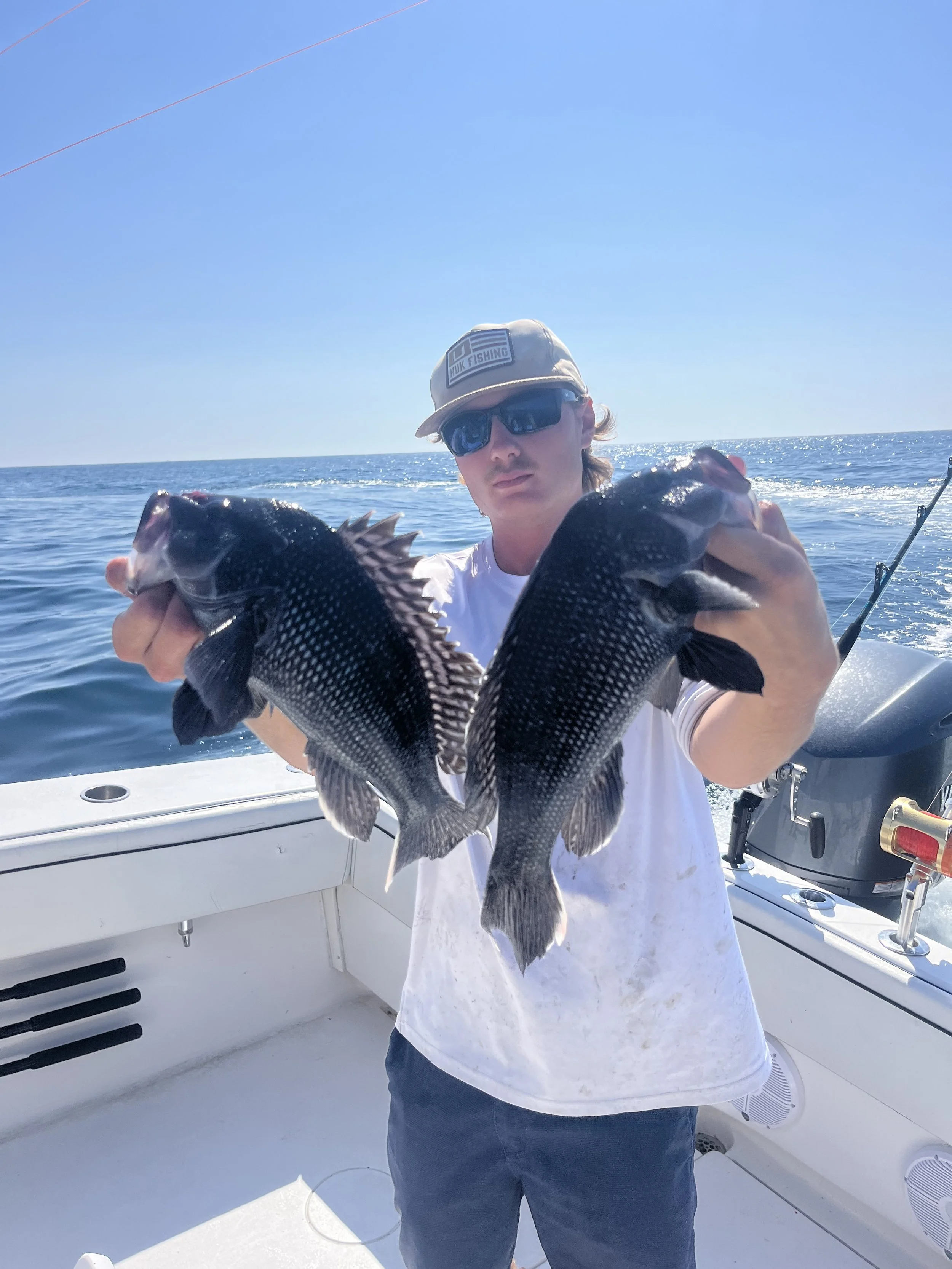
Jeff runs the canyons whenever conditions allow — Washington, Baltimore, Poormans, Wilmington, Norfolk. Every one of them. He knows what the water looks like when the bite is on, and he knows the frustration of committing a full day and 200 gallons of diesel only to fish the wrong spot because yesterday's data was already stale.
That's the whole premise of ABFI. Real-time data, satellite imagery, and catch reports from a network of captains who actually fish these waters. Not a Silicon Valley app — a tool built from the cockpit of a boat called Bad Habit.
Daily Reports from the Canyons
Every day, the ABFI team publishes intelligence straight from the water — what's biting, where the temperature breaks are sitting, which canyons are producing. Washington had the yellowfin stacked up? You'll know by morning. Norfolk's thermal edge pushed east? It's in the report before you fill the tanks.
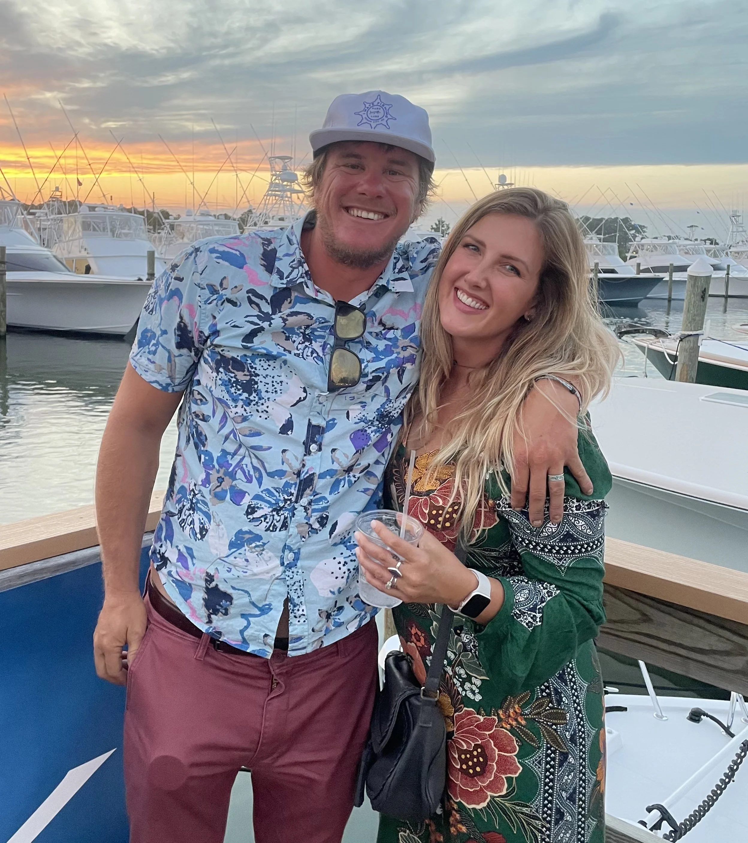
The voice is authentic because the authors are fishermen first. Jeff, Amanda, the whole network — they write the reports the same way they talk at the dock. No polish, no marketing speak. Just what's happening and what it means for your next trip.
"Enhance your fishing experience, and spend less time searching and more time catching."
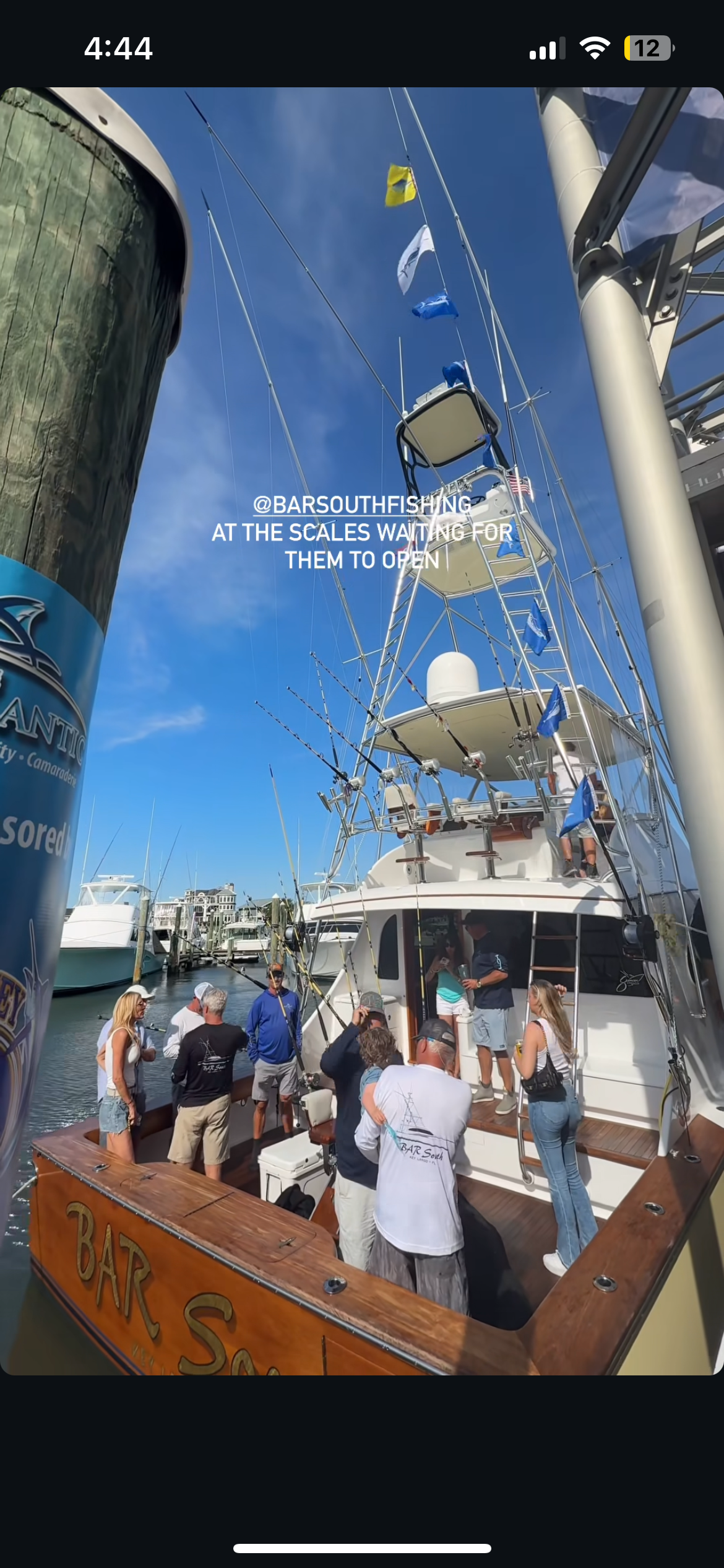
They compete in the tournaments that matter — the White Marlin Open, OC Tuna Tournament, Mid-Atlantic 500 — and they use their own platform to do it. Member catch reports feed back into the system. The community isn't a marketing term. It's captains and anglers sharing real intel, real conditions, real results from the Mid-Atlantic offshore fishery.
Behind the Lens, On the Water
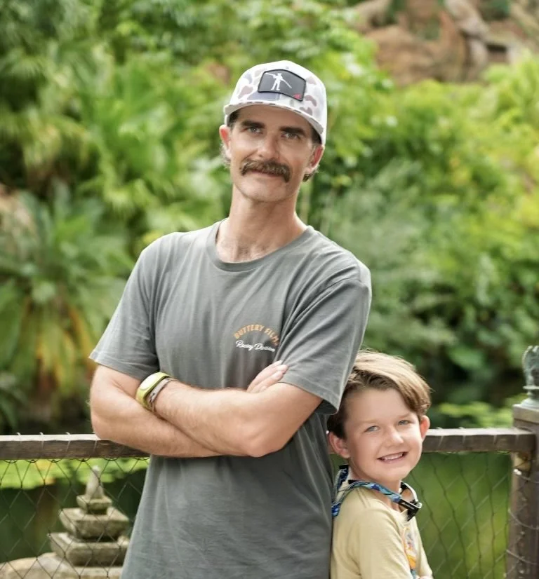
Taylor Bakke captures the footage, builds the content, and keeps ABFI grounded in what actually matters — catching fish and telling the story. He's on the skiff filming, on land cutting footage, and in the reports showing exactly what conditions looked like when the bite was on.
ABFI isn't a polished marketing story. It's raw, direct, and built from real sessions on the water. Taylor makes sure every piece of content reflects that — no stock photography, no scripted testimonials. Just what happened, when it happened, and what the data said.
ABFI reads how water moves, then turns that movement into clear insight. It was built by anglers who actually fish these waters — and it's built for every offshore fisherman in the Mid-Atlantic who's tired of guessing.
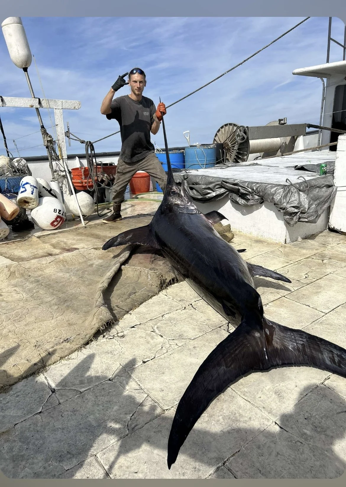
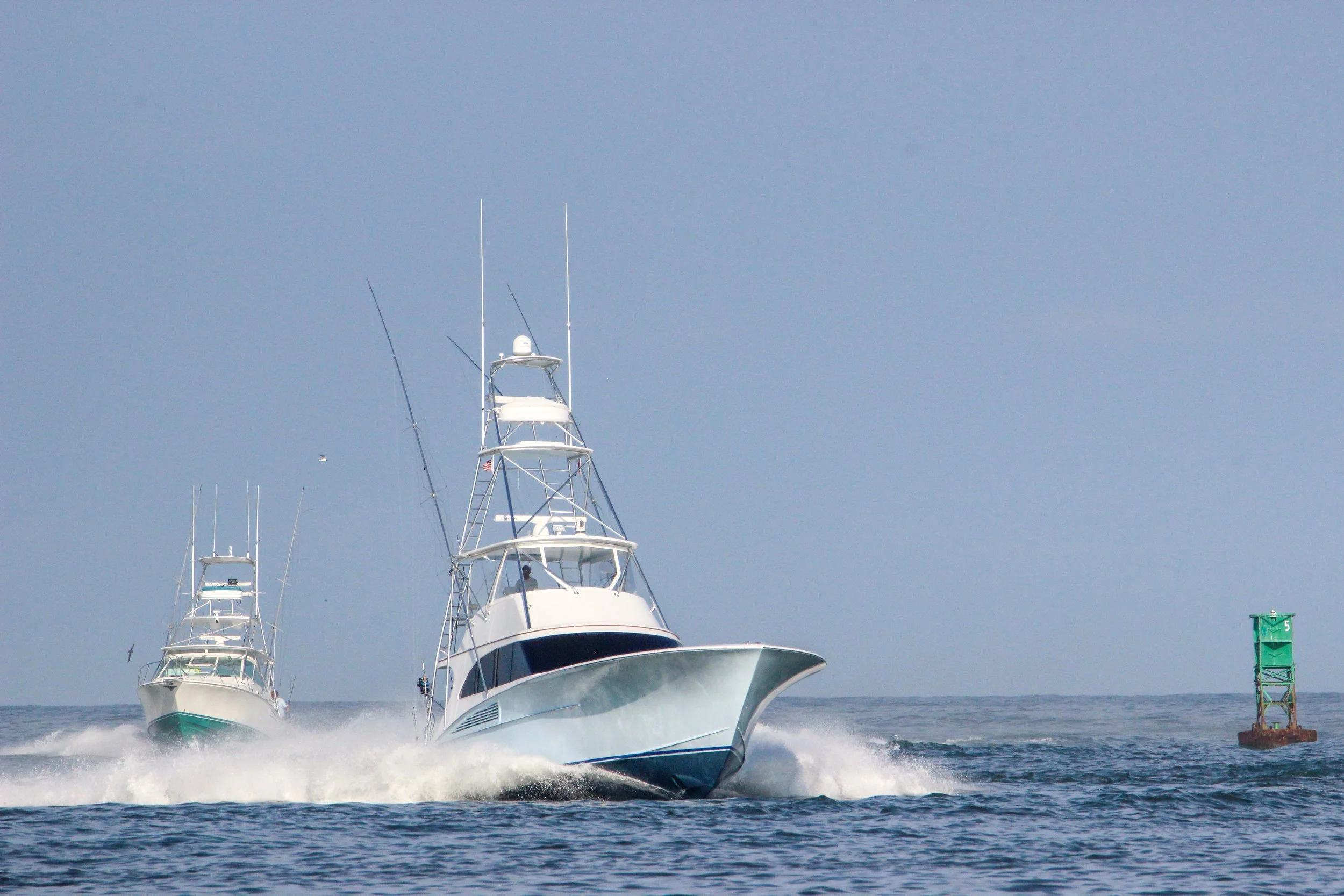
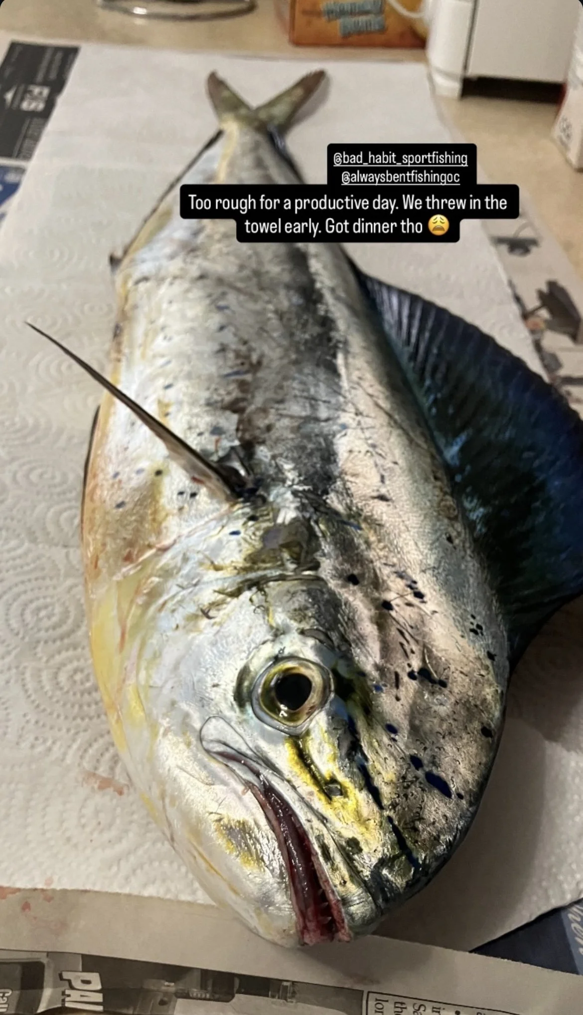
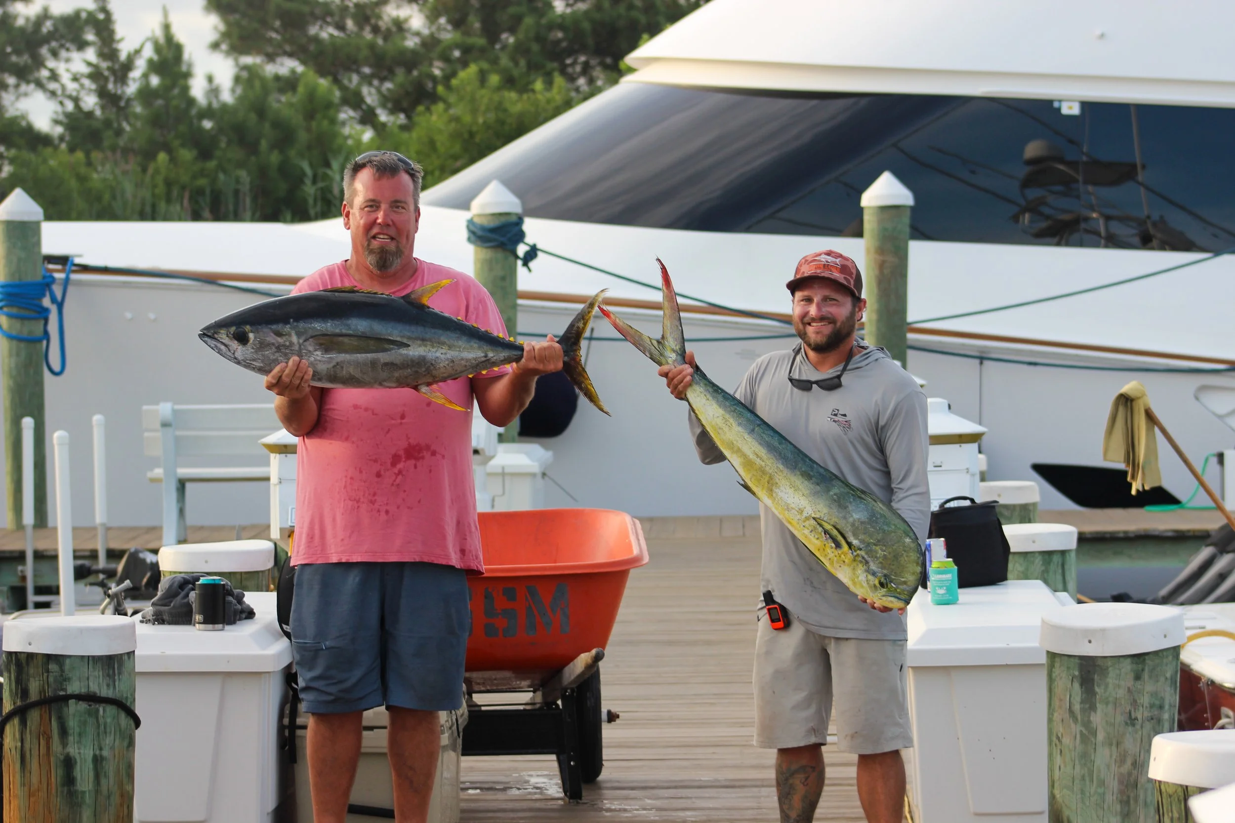
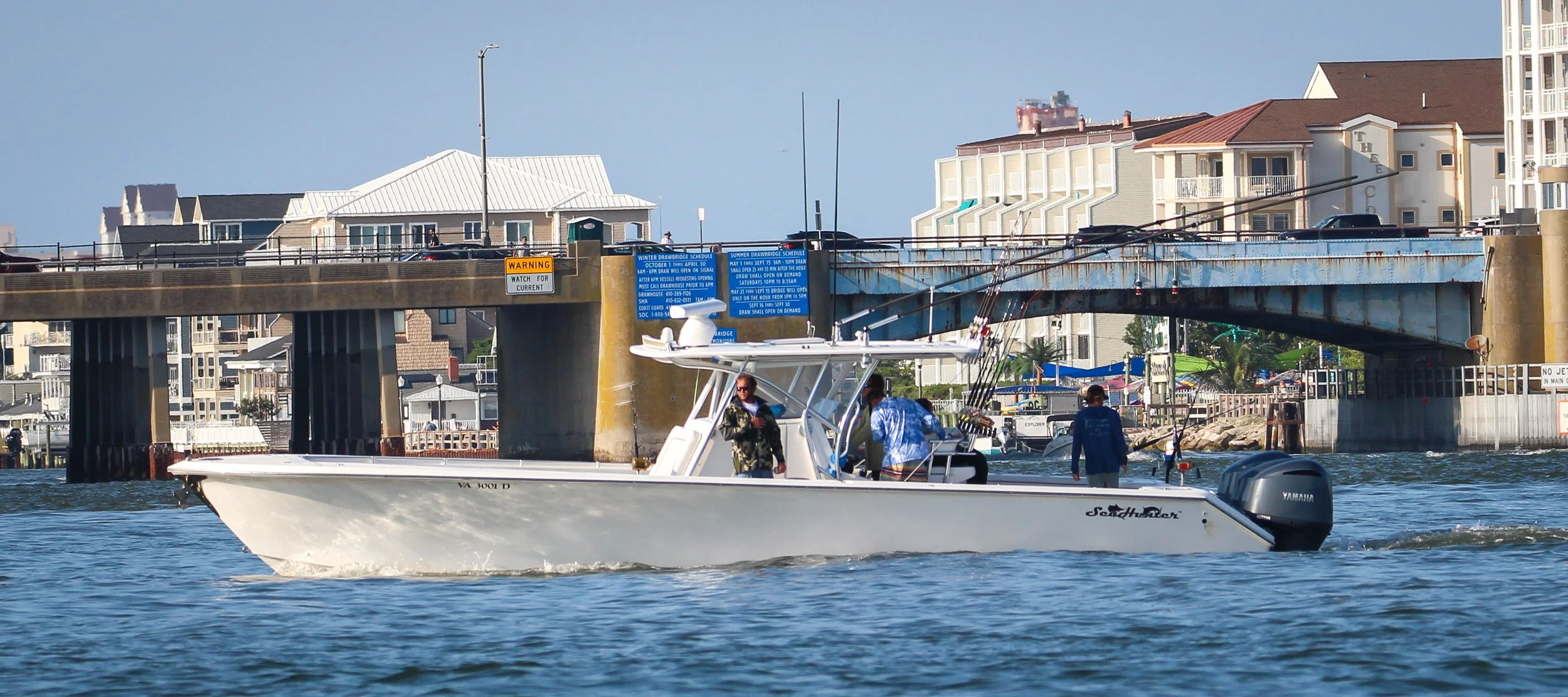
No Stock Photos. Real Days, Real Fish.
Every image here is from the water — the canyons off Ocean City, the tournaments, the sessions that built ABFI. This is what the Mid-Atlantic offshore fishery actually looks like.
Ocean Data Into
Fishable Decisions
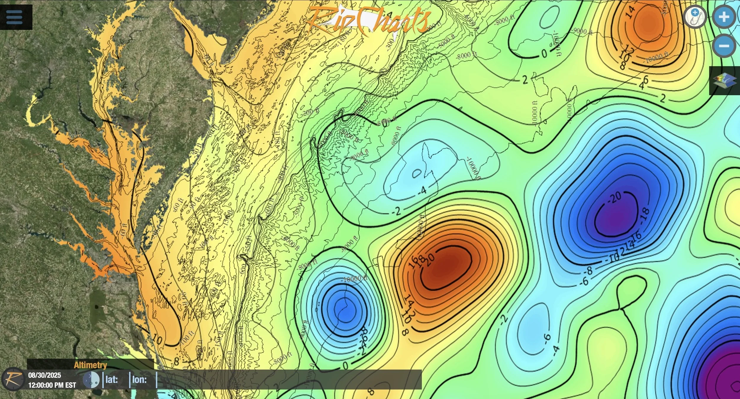
Instead of sorting through raw data and conflicting reports, ABFI interprets the patterns for you. Raw data becomes interpreted patterns. Interpreted patterns become confident fishing decisions.
Washington Canyon
Satellite imagery shows where the warm water pushes into the canyon walls. ABFI highlights temp breaks and color changes in real time — so you see the edge forming before you burn 60 gallons running to a dead spot.
Baltimore Canyon
We can see where commercial boats are fishing, where other members are fishing, and then also altimetry and salinity data. It always seems to line up with where the fish are. That's not coincidence — that's pattern recognition at scale.
Poormans Canyon
Fresh catch reports from members and live location data of recreational and commercial boats. Our AI-powered algorithm predicts the most likely areas tuna, marlin, and other pelagic fish will be. It's the next best advantage you can have.
Wilmington Canyon
ABFI reads how water moves and changes, then turns that movement into clear insight you can act on. So you waste less fuel, avoid dead water, and run with confidence to the canyon that's actually producing.
Norfolk Canyon
Here's why you went to the wrong canyon last Saturday: the thermal edge shifted overnight, the commercial boats already moved south, and the member reports were pointing somewhere else entirely. ABFI connects those signals so you don't have to guess.
"Intel. Always Bent Intel."
Not better data in the abstract. Canyon-specific intelligence that tells you where to run, when to move, and why the bite is where it is — before anyone else figures it out.
Not Stock Photos.
Our Photos.
Every image comes from real sessions on the Mid-Atlantic. Tournament days, rough rides, and the bites that made the run worth it.
You've Read the Story.
Now See the Water.
SST Anytime is free. No credit card, no commitment. Just open the map and see what the ocean looks like right now — the same data we check before every run.
Tight lines and stay bent.
— Always Bent Fishing Intelligence